
Trumps Middle East Map Portrays Iran in U.S. Colors
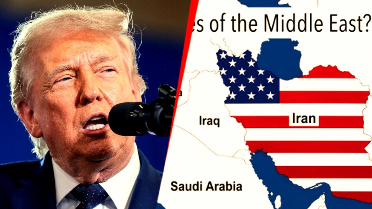
Former President Donald Trump recently shared an edited image that depicts a map of the “United States of the Middle East,” wherein Iran is represented in the colors of the American flag. The image, which appears to suggest a vision for regional governance, has sparked a range of reactions online, with some users praising it as a bold statement and others criticizing it as simplistically representing complex geopolitical issues.
This map arises amid ongoing tensions between the U.S. and Iran, particularly in the context of diplomatic efforts and negotiations surrounding Irans nuclear program. Trump has been vocal about his views on Middle Eastern policy since his presidency, often advocating for a more aggressive stance towards Iran.
The sharing of the map coincides with discussions among policymakers and military leaders regarding future strategies in the region. Analysts have noted that while the visual representation may be striking, it oversimplifies the intricate dynamics at play in the Middle East, where numerous countries have diverse political, social, and economic conditions.
As the U.S. continues to navigate its relationships with Middle Eastern nations, the implications of such a depiction highlight divergent opinions on intervention and the future of U.S. influence in the region.