
Venezuela Earthquake: Satellite Imagery Shows Significant Damage to High-Rise Buildings
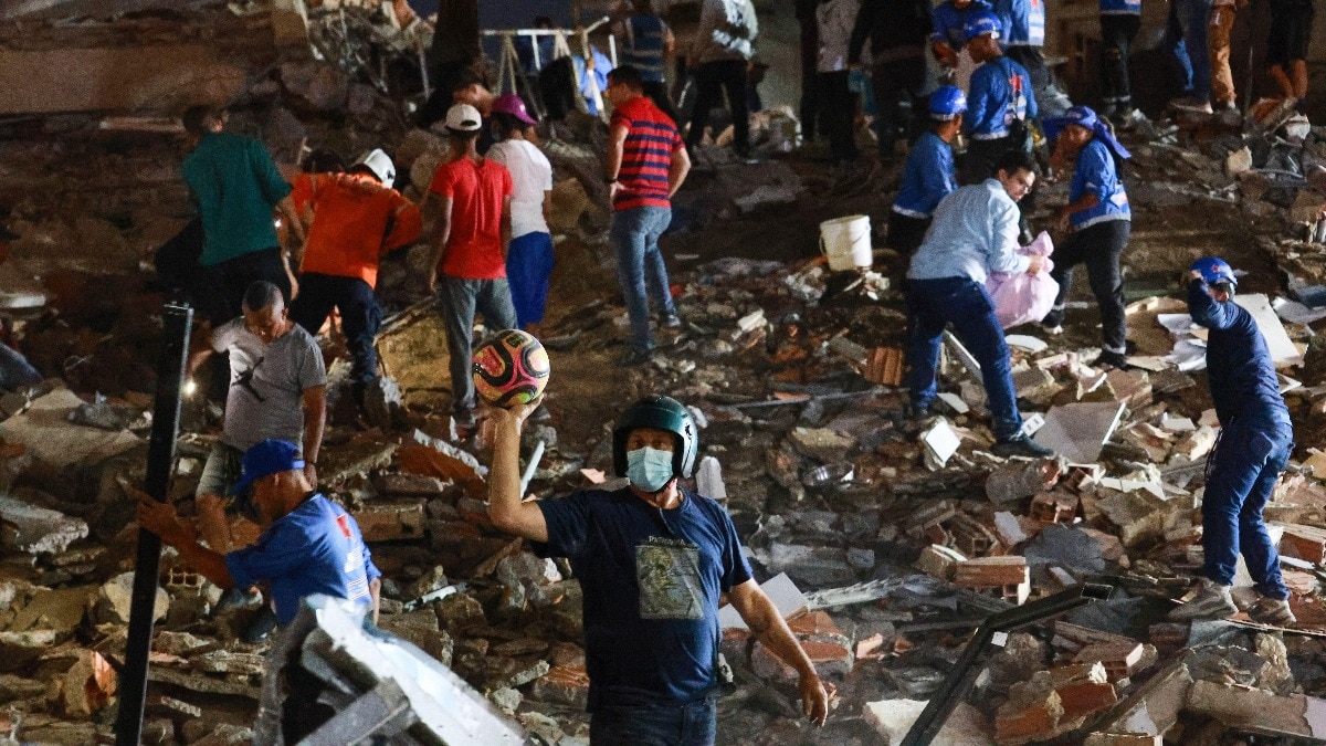
Venezuela Earthquake: Satellite Imagery Shows Destruction of High-Rise Buildings
Satellite images released following a recent earthquake in Venezuela have revealed extensive damage, particularly in the coastal region of La Guaira. The earthquake, which registered a magnitude of 6.1, struck the area on June 26, 2026, leading to significant infrastructure destruction.
The imagery highlights several high-rise buildings that have been reduced to rubble, raising concerns about the safety of remaining structures and the potential for aftershocks. Emergency response teams have been deployed to assess the situation and provide assistance to affected residents.
Authorities are also gearing up to conduct thorough inspections of other buildings in the region to evaluate their stability and ensure public safety. The earthquake not only impacted residential buildings but also disrupted local services and transportation networks, complicating relief efforts.
Venezuelas geological context is notable, as the country is situated near tectonic plate boundaries, making it prone to seismic activity. In the aftermath of this earthquake, experts underscore the importance of strengthening building codes and preparedness measures to mitigate the effects of similar events in the future.
As recovery efforts progress, international aid and support may be mobilized to help those affected by the disaster.
Warning: file_get_contents(https://api.ip2location.io/?key=1A7615A444B2F5F12B2A658FC27169D2&ip=216.73.216.245): Failed to open stream: HTTP request failed! HTTP/1.1 401 Unauthorized in /home/m1newsdesk/public_html/wp-content/themes/colormag-pro/content-single.php on line 197